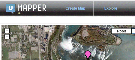
Six months ago it come to me for trying, now there has been implemented some new features and for what is seen it has something of the future as they were reviewed by Mashable and Google Maps Mania.

Keir Clarke, Google Maps Mania editor said:
“This is one of the best tools for creating maps that I have seen”
With this many put their eyes on this application, which allows:
- Create maps using Virtual Earth, Google and OpenStreetMap
- Draw lines, points, polygons… and circles
- Searching in Wikipedia and Geonames by geo-tagged entries
- Import GPS data in .gpx, .kml and GeoRSS formats
UMapper functionalities are very robust, in case you want to build interactive flash applications, inclusively can be exported to Flash ActionScript 3.0 and kml.
Additionally it can be done other tricks such as:
- Integrate UMapper with a web via its API
- Share maps through gardgets made for blogs or social networks among them are Facebook, Blogger, WordPress, MySpace, Orkut and iGoogle..
- Rearrange the size of embedded maps
- Restrict maps’ access or create maps in Wiki way so it can be editable for many
- Invite people to edit maps
- And more…
So for those who want to integrate maps into its web, with flash appearance, and with better options than just Google Maps API … UMapper is a good choice.
 Autocad Software, Bentley Microstation, Gis Google Earth, Gis System Geomate Provides Services For Complete Gis Software And Solutions, Autocad Software, Autocad Courses, Bentley Microstation, Microstation Software, Gis Google Earth, Open Source Gis And More.