With great pleasure we present the “gvSIG and Cooperation” publication, a work that seeks to be a reference in systematization terms to promote this application’s dissemination in cooperative projects as a sustainable alternative.
It was now needed a document of this level, which comes at a good time, when gvSIG is about to launch a promising new version. The line of this paper is similar to that previously produced by the same institution called “Epanet for Cooperation” with the difference that in this case, the exercises are in the same document.
This book is driven by Engineering for the People (UMAN), a company dedicated to promoting the humanitarian organizations impact through training and consulting with this product they have a big dream because with this first issue out in the last newly November this could be one of the most prominent media tools on free GIS Hispanic media. Called my attention the copyright legend that says:
All rights reserved. You can photocopy this manual for your personal use if your financial situation does not allow you to buy it. Otherwise, consider supporting these causes by buying a copy.
The book can be accessed online at http://www.arnalich.com/es/libros.html it can also be purchased at a price of 30 Euros.
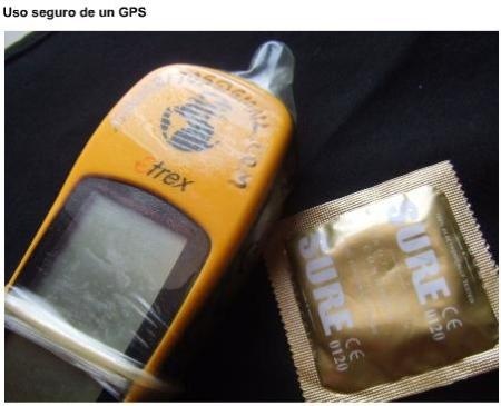
While the document seems to be a reference for the institutions that make decisions, by the way is made it is more suited to a manual with a very practical methodological adaptation. Graphics, examples and images reflect a great job for sample just look at this.

Here is a summary and index:
gvSIG and Cooperation.
How to build and incorporate a GIS into your project
In this manual we’ve set out to popularize GIS in cooperation show it to you with little effort or cost to incorporate it into everyday projects with the same ease with which you browse the Internet or read email.
This collection of exercises and applied explanations want you to get up quickly, providing the necessary tools to build your first GIS system in a short time, approximately 16 hours.
I. Why the GIS is important for you
What’s the GIS ……………………………………….………………………………..5
How does GIS power your work?………………………………………………6
GIS, a bird on Earth …………………………………………………………………9
Objectives ………………….…………………………………………………………..10
How is this book organized ………..………………………………………….11
II. The theory you’ll need
Thinking spatially ……………………………….…………… ………………….17
The ten key minutes………………………………………………………………..19
The importance of the form when collecting data …… ……………21
Specializing with a GPS ……………………………………….………………….26
Navigating with coordinates ……………………………………………………30
III. gvSIG in tutorials
Introducing gvSIG ………………………………………………….………………39
Downloading gvSIG and manuals…………………………………………..41
The gvSIG elements…………………………..……………………………………47
Exercise 1. Creating a new project…………….……………………………51
Exercise 2. Creating a view ……………………….…………………………..53
The layers………………….……………………………………………….…………….57
Exercise 3. Downloading data from the web…………………………..59
Facts of CRSs………………………………..…………………………… ……………61
Exercise 4. An essential ritual…………..…………………………………….62
Exercise 5. Adding layers………………………………………………………..66
Exercise 6. Working with comfort……………….………………………….70
The tables………………………………………………….…………………………….71
Exercise 7. Poking with your first table…………………………… ……72
Facilitating the interpretation………………………………………………….75
Exercise 8. Modifying the appearance of layers…………………….77
Five key tools………………………………………………………………………….87
Exercise 9. Incorporating a finder……………………….…………………89
Exercise 10. Going consultation……………………………………………..92
Exercise 11. Creating areas of influence……………………….………99
Exercise 12. Incorporating background images………………… .111
Exercise 13. Drawing layers ………………………………………………..119
Exercise 14. Adding GPS data………………………………………….…..127
Exercise 15. Checking layers………………………………………………..134
Publishing a map……………………………………………………………..136
Exercise 16. Publishing a map…………………………………………..138
IV. Premiering with a case
Preparing the base…………………………………………………………..155
Adding data elements………………………………..160
Analyzing the data………………………………………………………..165
as a goodbye…………………………………………………………172
V. Toolbox
Where to get maps………………………………………………………175
Where to get data and layers…………………………………………….176
Where to get help ……………………………………………………….178
Common mistakes…………………………………………………………………..179
Crash spreadsheet’s course …………………………………….138
About the authors……………………………………………………………….185
Bibliography ……………………………………………………………………….187
See the book online
 Autocad Software, Bentley Microstation, Gis Google Earth, Gis System Geomate Provides Services For Complete Gis Software And Solutions, Autocad Software, Autocad Courses, Bentley Microstation, Microstation Software, Gis Google Earth, Open Source Gis And More.