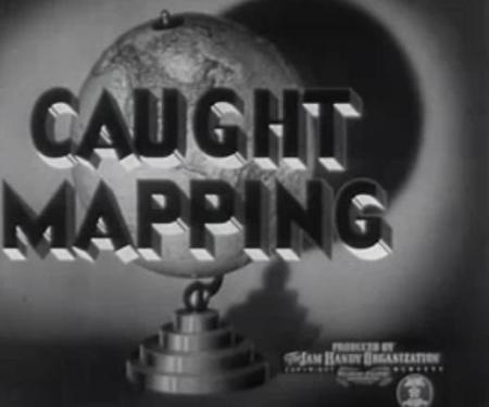
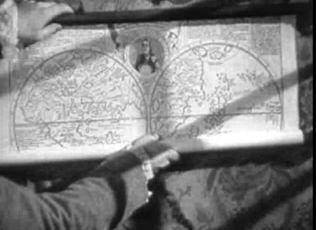
The map library shows us an interesting video which tells us how was Cartography done in the forties.
The Google’s Earth Logo
Unfolding a fitview and regen document.
| Zoom in |  |
 |
Improving the brightness display |
| Creating a digital terrain model | 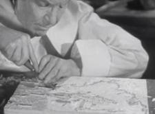 |
 |
Querying the tomtom |
| Creating a transparent layer | 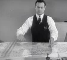 |
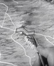 |
Creating a Buffer |
| Making cartographic maintenance | 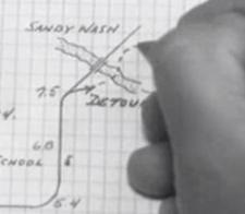 |
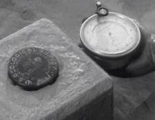 |
Binding the geodetic network |
| Updating an slope map |  |
 Autocad Software, Bentley Microstation, Gis Google Earth, Gis System Geomate Provides Services For Complete Gis Software And Solutions, Autocad Software, Autocad Courses, Bentley Microstation, Microstation Software, Gis Google Earth, Open Source Gis And More.